Cappadocia valleys loop from Göreme
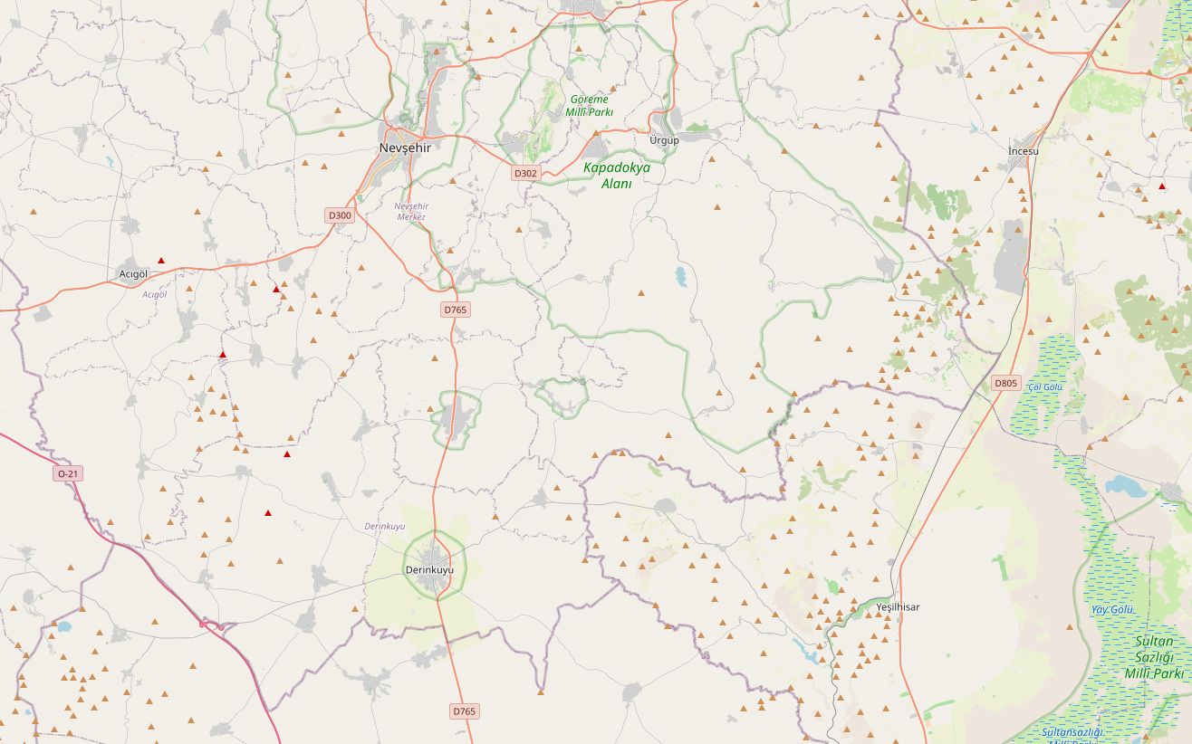
This loop starts and ends in Göreme and links the best-known sights of Cappadocia with a quieter run south to the Soğanlı valley. On the way back it passes the two largest underground cities, Derinkuyu and Kaymaklı, before climbing past Uçhisar to Göreme.
At 133 km it is a relaxed day with plenty of time off the bike. The longest stretch without a fuel station runs for about 78 km between Ürgüp and the approach to Derinkuyu, so fill up in Ürgüp. The highest point, about 1,603 m, comes on the road out to Soğanlı.
Along the way
- GöremeThe Göreme Open-Air Museum, 2 km east of the village, is a monastic settlement used from the 4th to the 13th century, with painted rock churches such as Tokalı, Elmalı and the Dark Church. It is part of the UNESCO site Göreme National Park and the Rock Sites of Cappadocia.
- ÜrgüpThe Three Beauties fairy chimneys stand beside the road from Göreme. In town, late-Ottoman stone mansions around Temenni Hill are now hotels, and local wineries make most of Cappadocia's wine.
- MustafapaşaFormerly Sinasos, a Cappadocian Greek town about 5 km from Ürgüp. Its carved stone mansions were built with money from trade in Constantinople; the Greek residents left in the 1923 population exchange.
- Mustafapaşa to SoğanlıThe road climbs onto open plateau and reaches about 1,603 m, the highest point of the loop.
- SoğanlıA valley in Kayseri province with dozens of rock-cut churches, several with domes, eight of them open to visitors. Village women make the rag Soğanlı dolls sold across Cappadocia.
- DerinkuyuUnderground city about 85 m deep on at least eight levels, large enough to shelter thousands of people.
- KaymaklıA second underground city on the Nevşehir road, built around a ventilation shaft. Four floors are open, and tunnels once linked it to Derinkuyu.
- NevşehirThe provincial capital, founded in its present form by the grand vizier Damat İbrahim Pasha, whose mosque complex still stands.
- UçhisarThe rock castle is the highest point in the area, with views over Pigeon Valley to Mount Erciyes. Göreme is a few minutes downhill.
Elevation profile
Green ticks mark fuel stations. Hover the chart to read the height at any point.
24 fuel stations sit within 400 m of the road. The longest stretch without one is 77.6 km, between km 11.2 and 88.8 (Ürgüp to Derinkuyu). Any bike with a normal tank covers that without planning.
- 77.6 km (km 11.2–88.8)
- 10.9 km (km 122.4–133.3)
- 6.6 km (km 4.6–11.2)
Stages
| Section | km | Time |
|---|---|---|
| Day 1: Göreme → Göreme | 133.3 | 2 h 19 min |
| Göreme → Ürgüp | 9.2 | 0 h 10 min |
| Ürgüp → Mustafapaşa | 6.9 | 0 h 9 min |
| Mustafapaşa → Soğanlı | 41.2 | 0 h 46 min |
| Soğanlı → Derinkuyu | 34.1 | 0 h 39 min |
| Derinkuyu → Nevşehir | 29.9 | 0 h 23 min |
| Nevşehir → Göreme | 12.0 | 0 h 12 min |
When to ride
Best in spring and autumn. This is high plateau country: Nevşehir sits at about 1,224 m, so winter mornings are cold.
Fuel cost
Default price: Antalya petrol, 2 October 2026.
GPS track
The full route as a GPX file, for Garmin, Calimoto, Kurviger and most navigation apps.
Download GPXMeasured: 2 November 2026